Beautiful maps for every ride
Spur is a native Mac viewer for GPX, FIT, and TCX files. Double-click an activity and see the whole story: your route on hand-crafted maps, the numbers that matter, and a chart you can scrub meter by meter.
Made for the dark
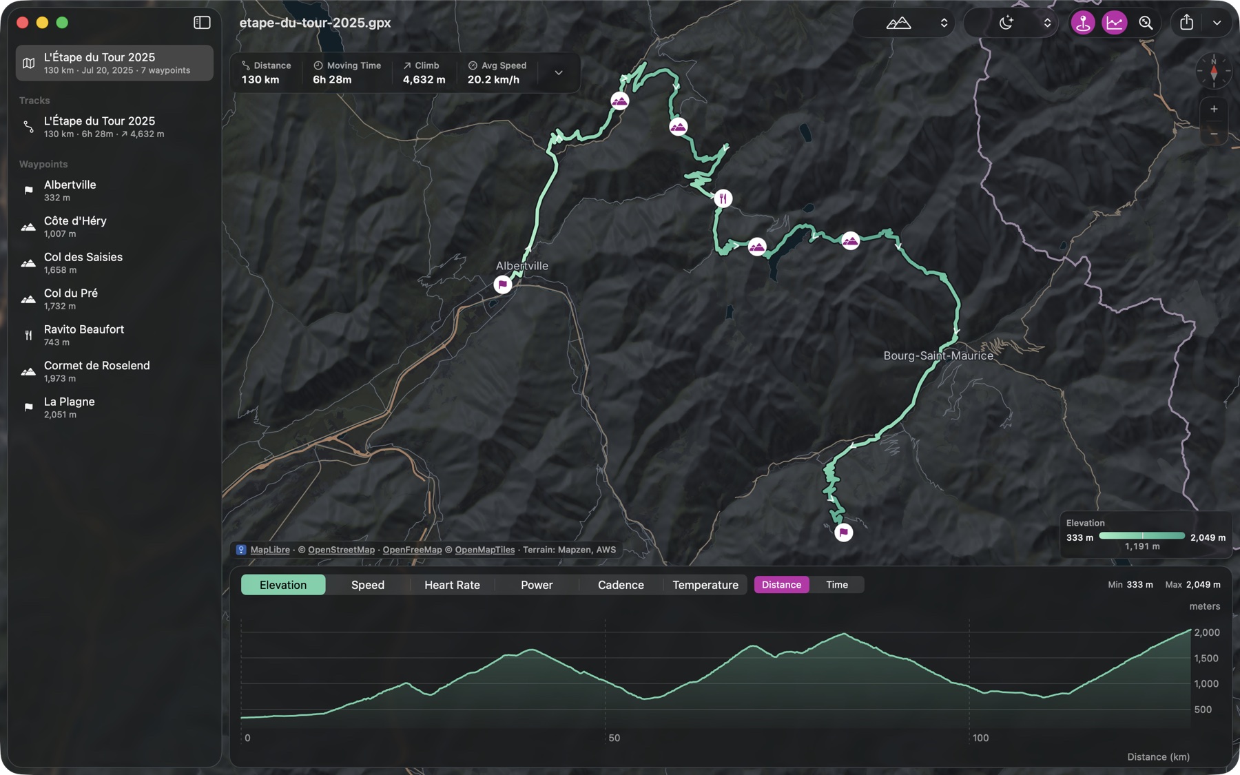
The Night map is cartography drawn for dark mode from the ground up: deep terrain shading, quiet roads, and routes that stand out. The toolbar, stats, legend, and chart switch with the map as one.
A map that works anywhere
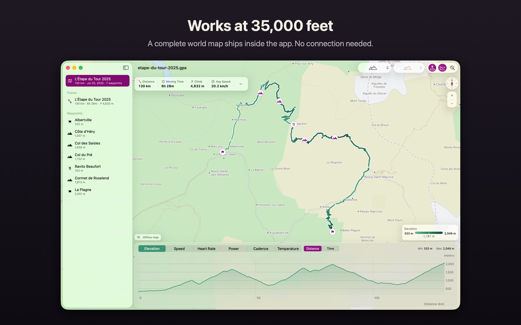
A complete offline world map ships inside the app: terrain, coastlines, rivers, lakes, borders, and thousands of place names. Open a ride on a plane or in the backcountry and it still renders on real cartography.
See your effort on the map
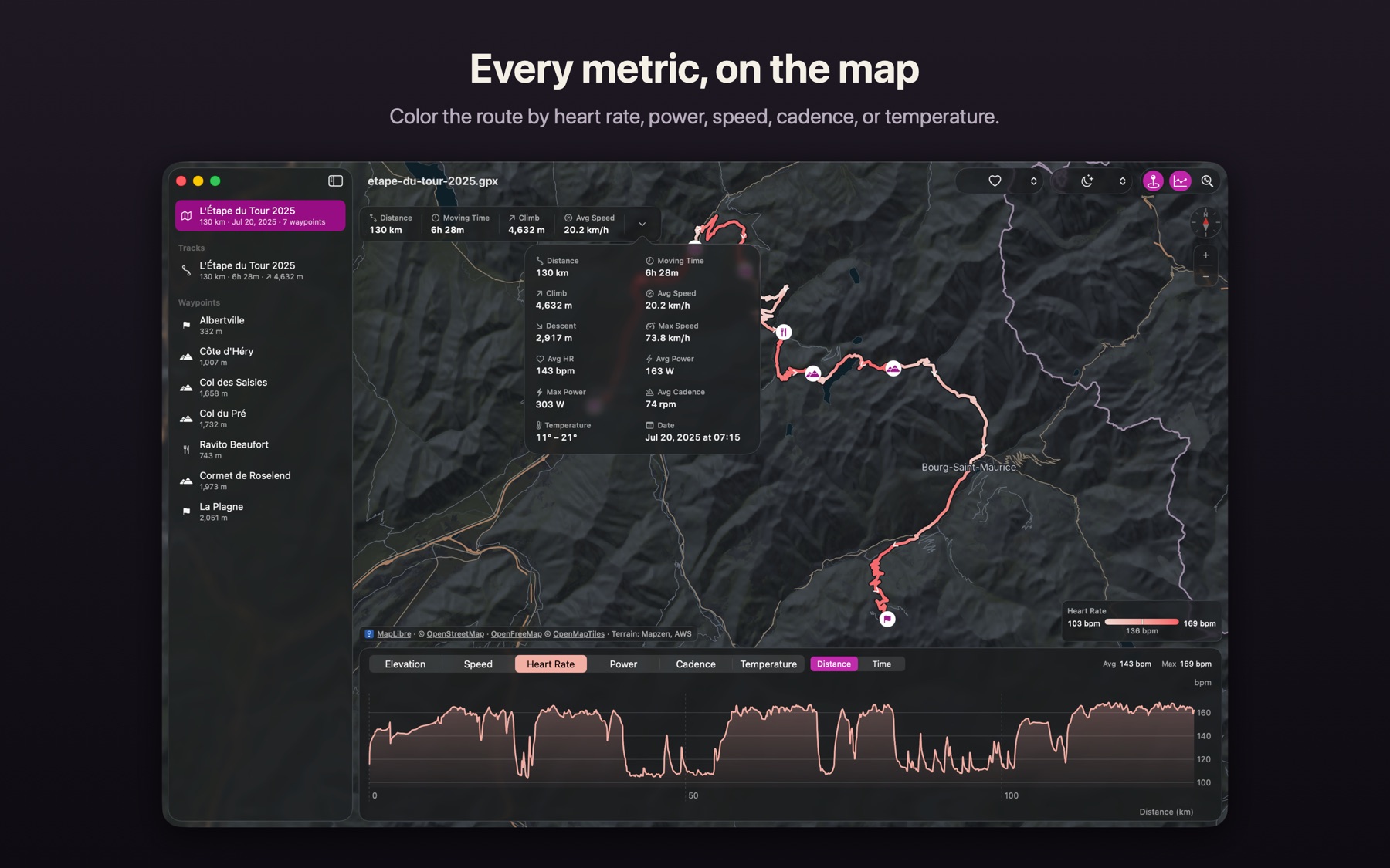
Color the route by elevation, speed, heart rate, power, cadence, or temperature. Waypoints appear as labeled pins, distance markers tick off every kilometer or mile, and start and end are always clear.
Charts you can scrub
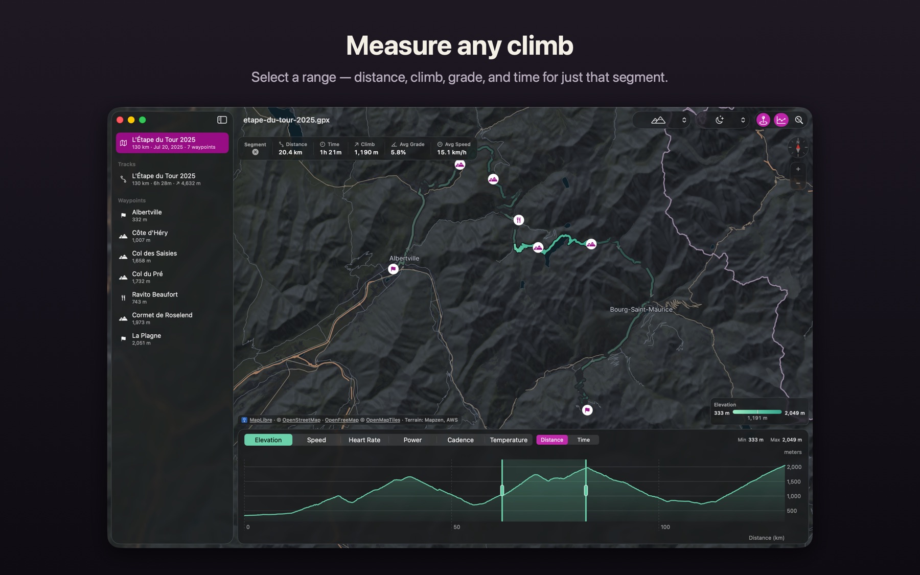
Hover the chart and a marker follows on the map. Hover the map and the chart follows back. Select a range to get distance, time, climb, and average grade for just that climb.
Quick Look, everywhere
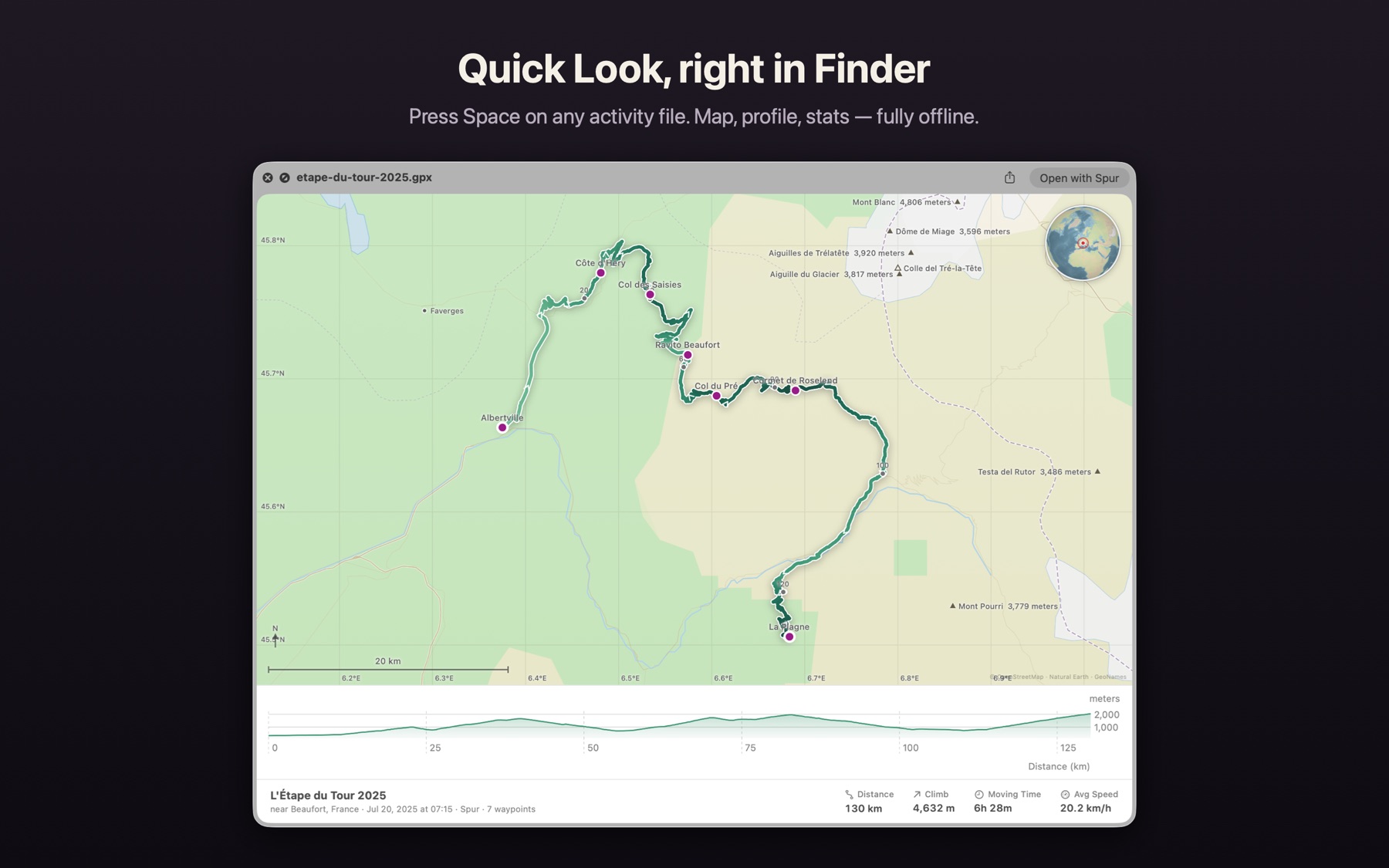
Every GPX, FIT, and TCX file gets a map thumbnail in Finder, and pressing Space shows the route, terrain, profile, and stats before you open the app. Works completely offline.
Take it with you
Share an image of exactly what you see with one click, frame and size it for any destination, or print a real paper map at a true scale across pages. Convert FIT and TCX to GPX.
Spur reads files from Garmin, Wahoo, Coros, Suunto, and Polar devices, and GPX exports from any training service. Your files never leave your Mac. Map data © OpenStreetMap contributors, OpenFreeMap, OpenMapTiles, Natural Earth, GeoNames, Mapzen/AWS Terrain Tiles. Satellite imagery © Esri.